Real answers to any location question,
grounded in the world's best spatial data, delivered in seconds.
Every business decision has a where. Where to build. Where to invest. Where the risk is. Where customers are going next. Finding those answers has always cost too much, taken too long, and required specialists most teams don't have.
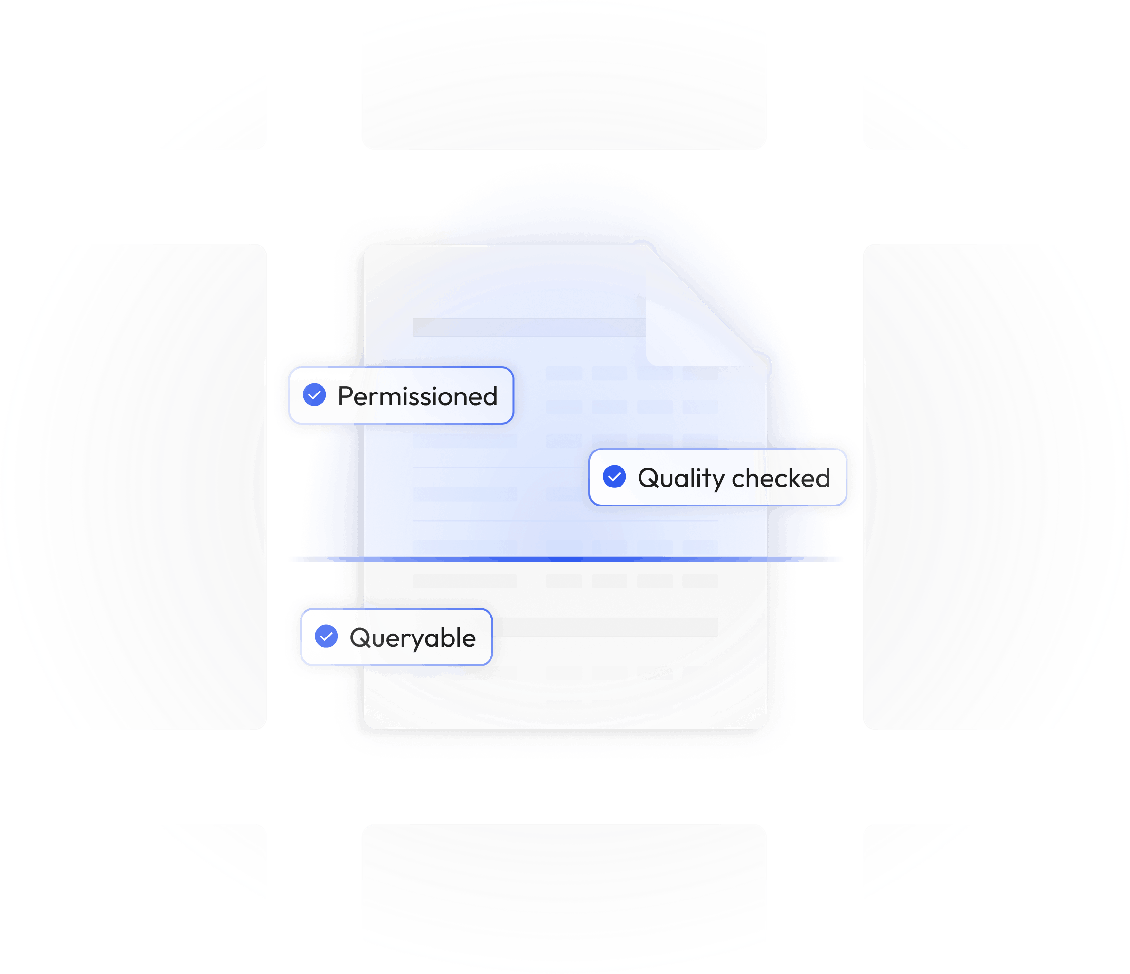
We brought the world's spatial data into one place, governed, queryable, and ready the moment you need it. Ask any location question.


Every business decision has a where. Where to build. Where to invest. Where the risk is. Where customers are going next. Finding those answers has always cost too much, taken too long, and required specialists most teams don't have.
We brought the world's spatial data into one place, governed, queryable, and ready the moment you need it. Ask any location question.
Teams in real estate and construction, retail and consumer goods, financial services, transportation and logistics, and more are already using the Spatial Cloud to get answers that used to take weeks.

The world's spatial data, accessible through the AI tools your team already uses.

Your entire spatial data library. Ready to combine, slice, and activate the moment you need it.
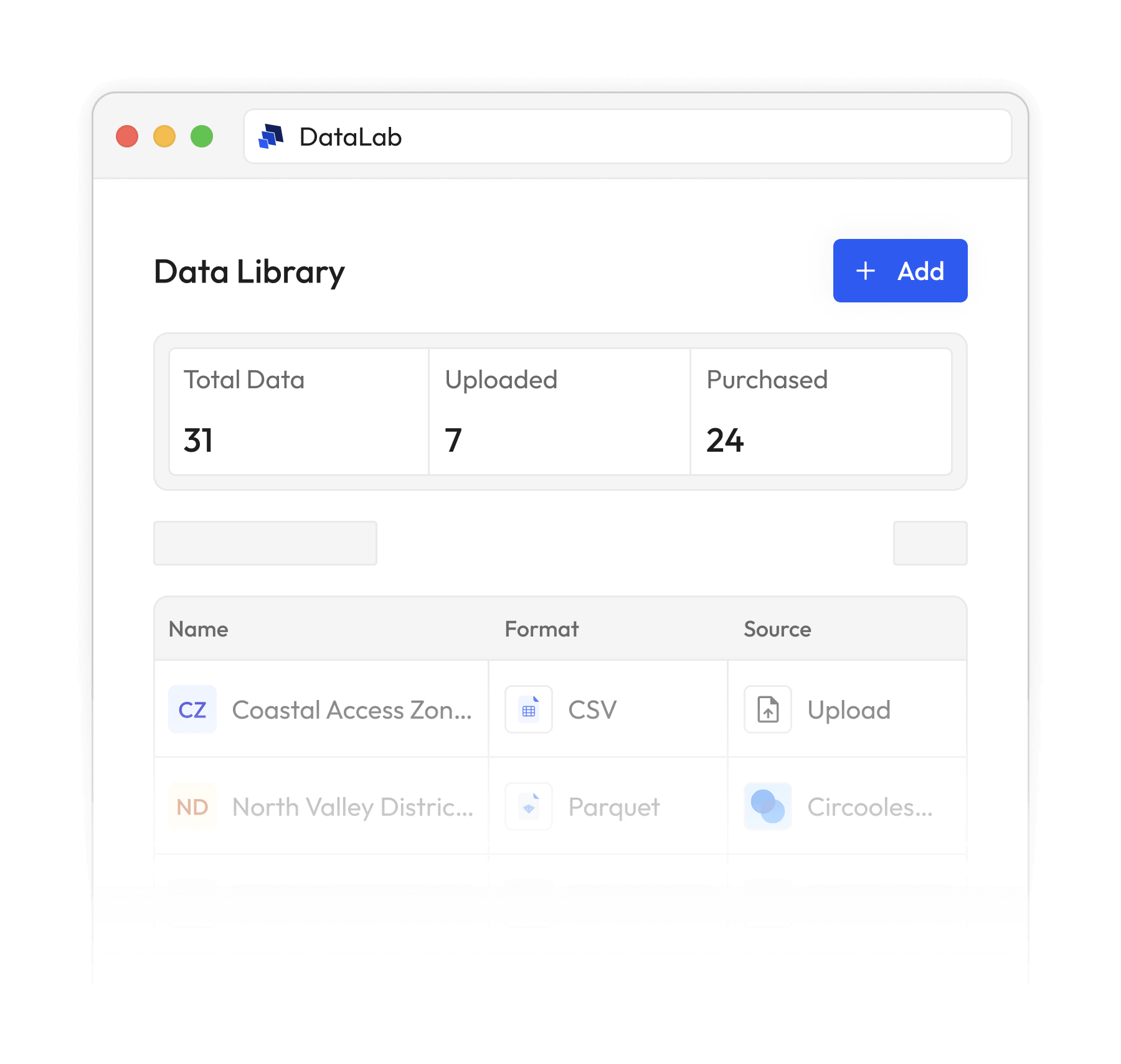

Every dataset you own, on one map. Explore, filter, and save exactly what you build.
.svg)
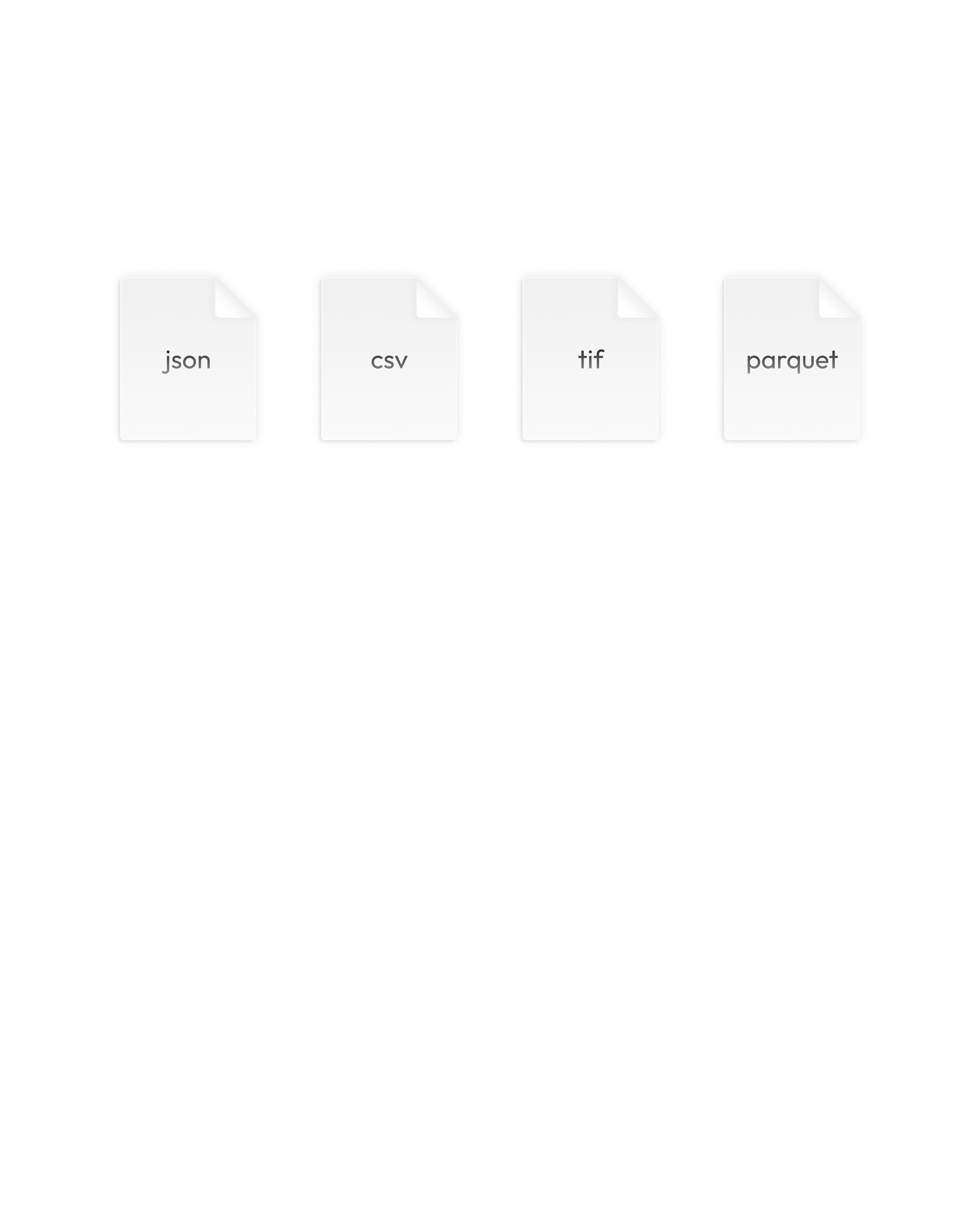
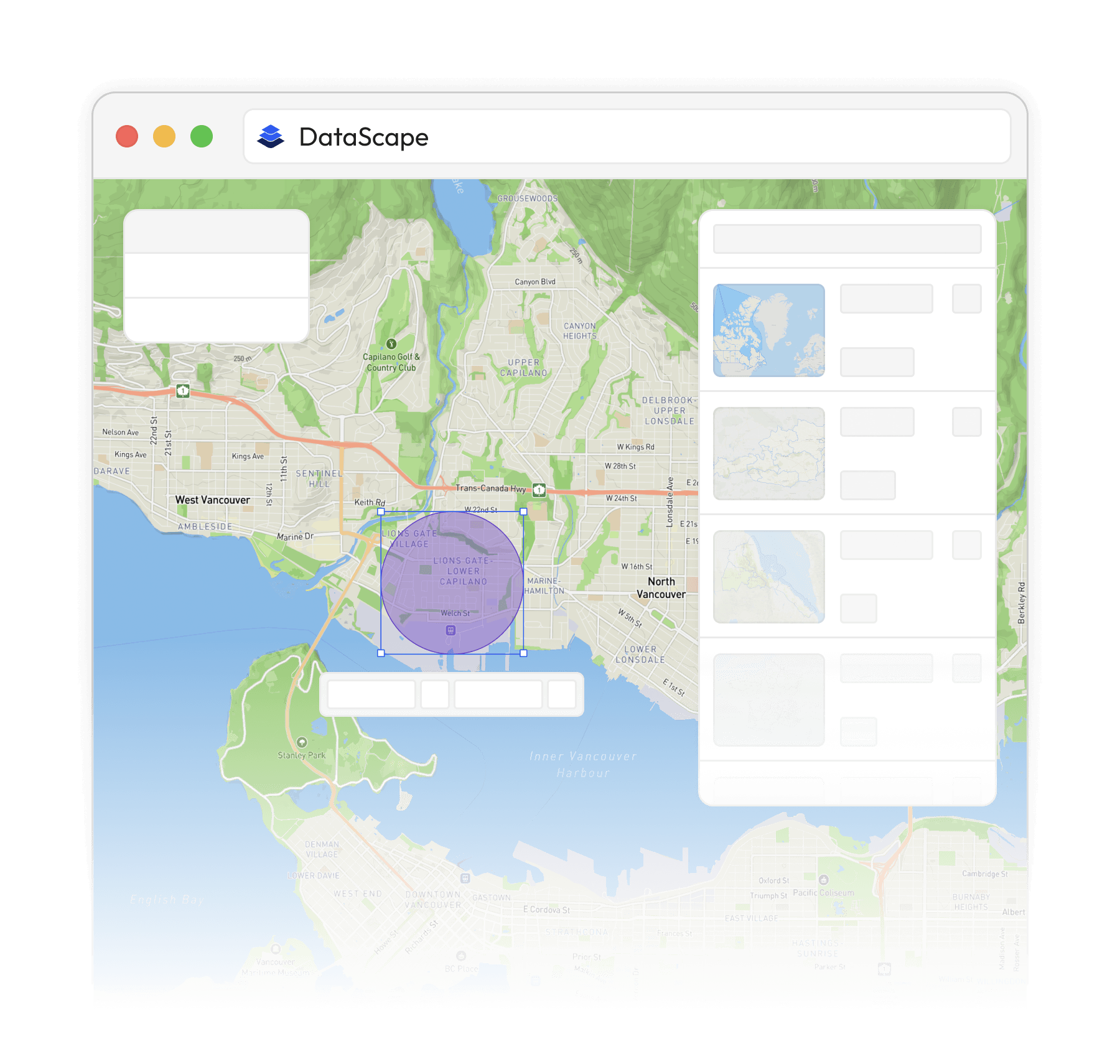
Hundreds of spatial datasets from trusted providers. Buy the metro, the state, or the boundary you need.
.png)
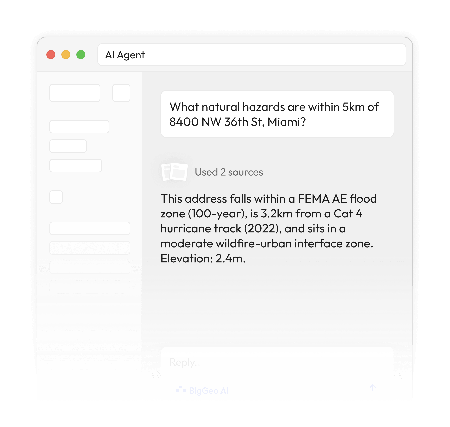
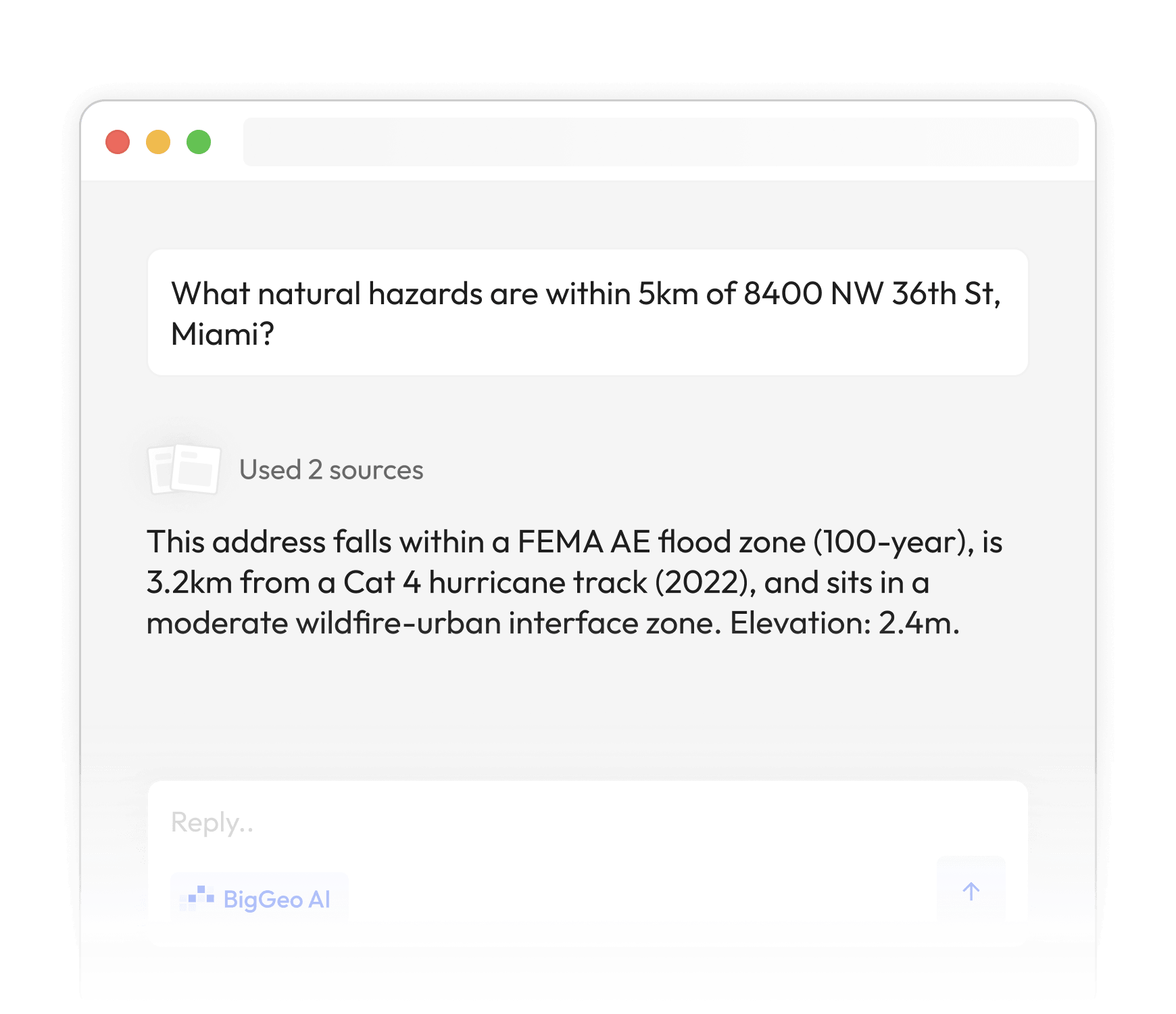
BigGeo AI gives ChatGPT access to the world's spatial data. Ask about any location in plain language and get an answer grounded in real, governed data. The AI you already trust just got smarter about the real world.
Vault is the governance layer built into every corner of the Spatial Cloud. You decide who can access your data, what they can do with it, and from where. Every request is evaluated at runtime, not just at login. The controls travel with your data everywhere it flows. Unauthorized data isn't just unreadable. It's unreachable.
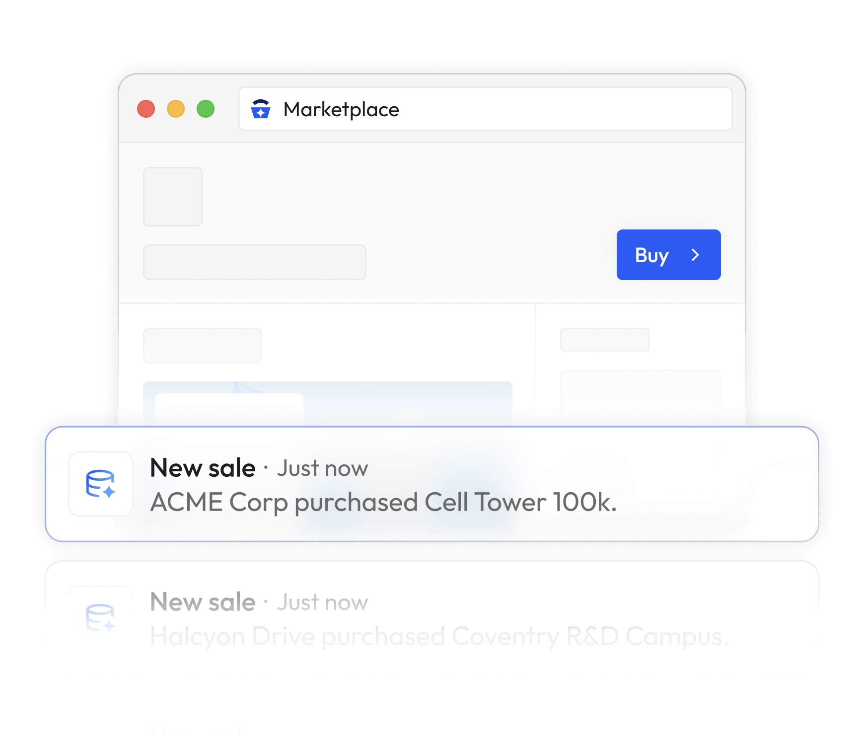
BigGeo Marketplace connects your data to the buyers who need it, enterprise teams, developers, and AI platforms querying spatial data every day. Publish once. Set your terms. Earn per query, per slice, or per subscription. No upfront costs. Full custody of your asset.